1 / 3
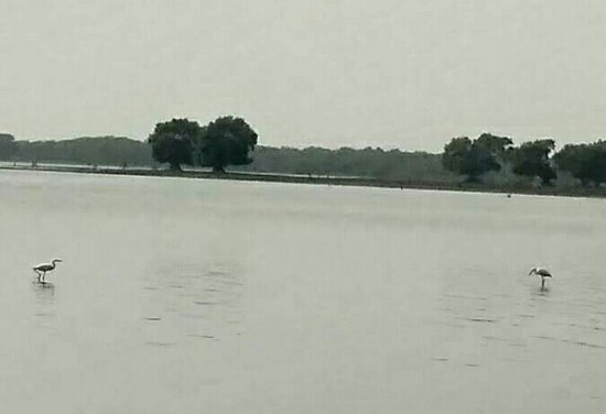
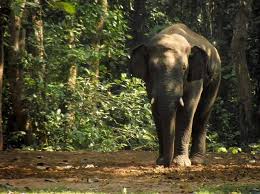
Kuldiha Wild Life
2 / 3
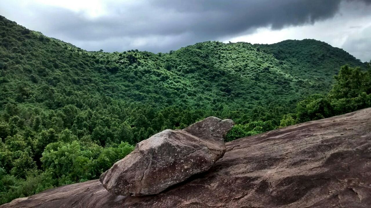
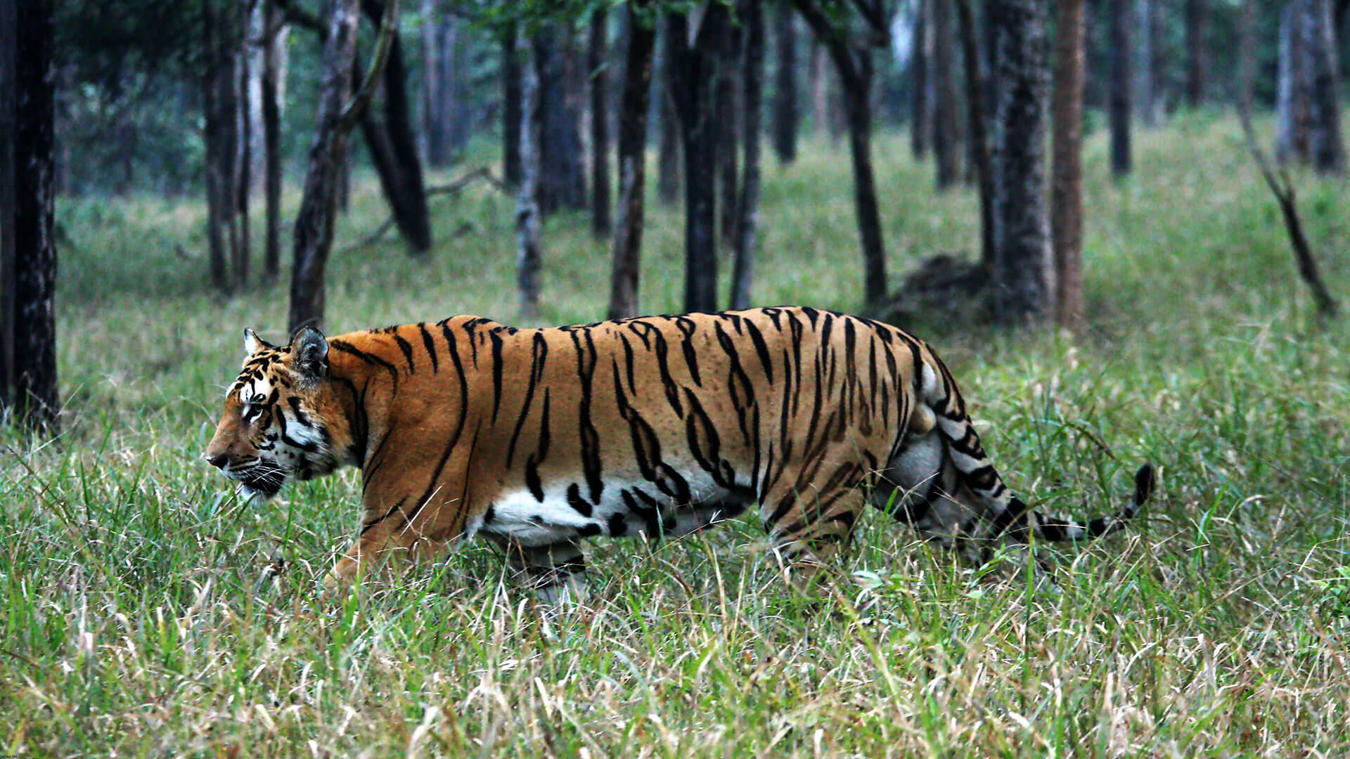
Simlipal National Park
3 / 3
Kuldiha Wild Life
Balasore District also known as Baleswar District or Baleshwar District, is an administrative district of Odisha state in eastern India.
Balasore is one of the coastal Districts of Odisha. It lies on the northernmost part of the state.
Balasore district is located in the northeast of the state of Odisha and lies between 21° 3' to 21° 59' north latitude and
86° 20' to 87° 29' east longitude.
The average altitude of the district is 19.08-metre. The district has a total area of 3634 km2.
The name Balasore is recognised from the Persian word BALA-E-SHORE which means “TOWN IN THE SEA”.
Height 70.5 m (231 ft)
Length 1,040 m (3,412 ft)
A dam has been constructed across the river Brahmani at Rengali.
One Hydro electrical power project of 120 MW capacity has been installed here.
It is about 85 kms from Angul, located on N.H. Rengali amidst picturesque environs and it is a nice place for group picnic.
A barrage is constructed across the Brahmani river 35 km downstream of Rengali dam.
The barrage is used to store the flood releases from the dam and divert it through two canal systems.
It has a free catchment area of 4780 km2 and between the dam and barrage.
The area records an annual rainfall of 1570 mm on average.
By Air
Nearest Airport is Biju Patnaik Airport, Bhubaneswar. Distance is around 220 Kms.
By Train
Talcher is the nearest railway station. Then by road, it is 65 km from Talcher Station.
By Road
One can reach Angul by bus . Rengali is at a distance of 85 Kms from Angul. Regular bus service is available to Rengali from Angul.
Also from Talcher regular Bus service is available which is about 65 KMs from Rengali.

Elevation 1,190 m (3,900 ft)
Coordinates 21°22′N 85°16′E
Malayagiri, is a mountain peak in the Malayagiri hills subrange of the Garhjat Range.
It is located near Pal Lahara town near Anugul in the district of Anugul of Odisha.
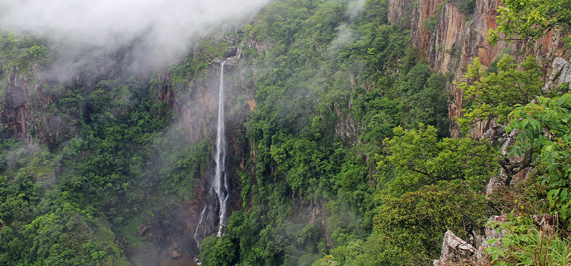
WHAT TO EXPECT INSIDE :
Mountain, Trekking, Waterfalls, Rivers,
Mountain Range Wildlife Nature Landscapes
By Air
Nearest Airport is Biju Patnaik Airport, Bhubaneswar. Distance is around 220 Kms.
By Train
Talcher is the nearest railway station. Then by road, it is 78 km from Talcher Station.
By Road
One can reach Angul by bus . 90kms from Angul to Malaygiri through banarpal- Pallahara road of Garhjat Range.
Area : 795.52 km2
22 km long gorge by Mahanadi
It's a beautiful place in Odisha state and near by place of Angul.
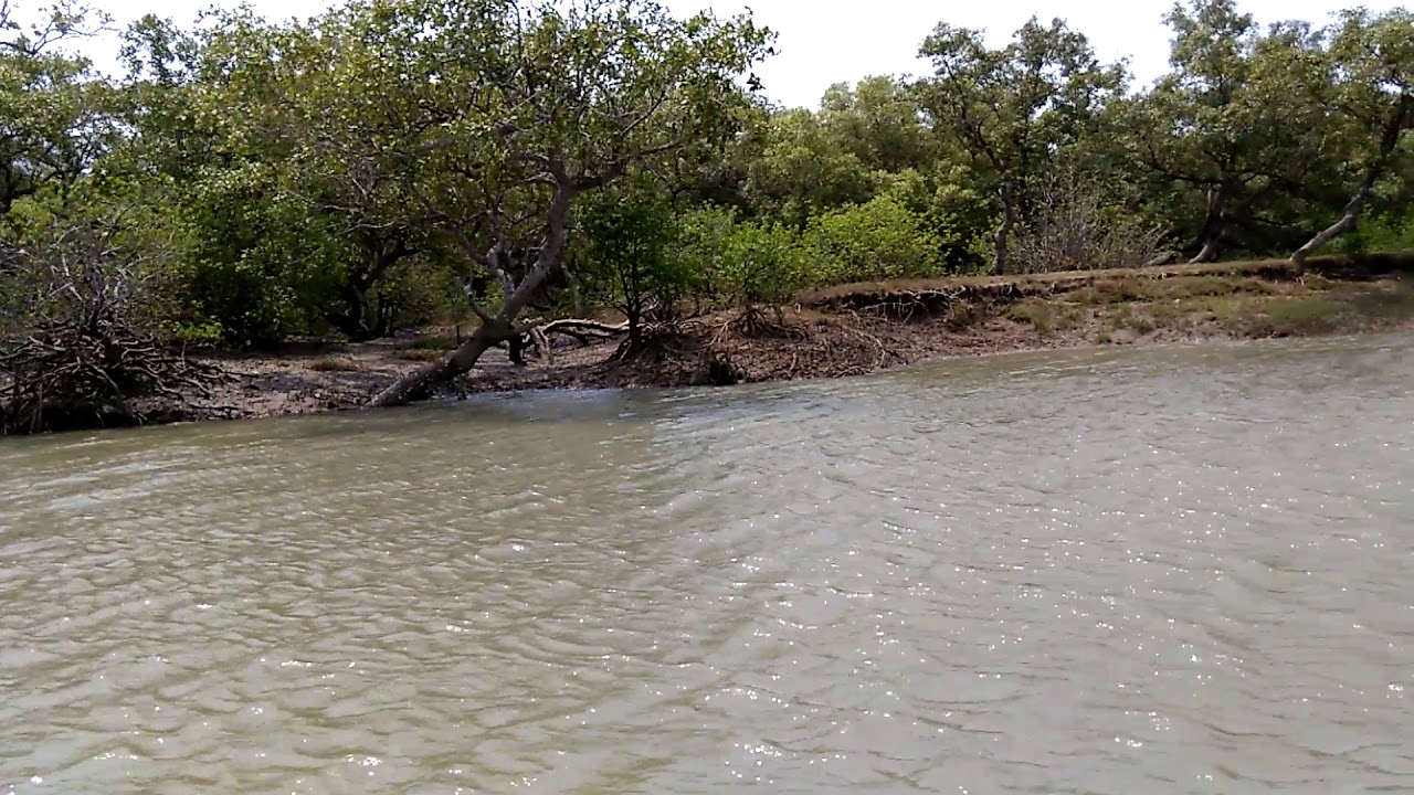
There is a single road goes through the dense forest to Tikarpada.
If you want to relax and need fresh air then visit to Tikarpada once.its near Mahanadi river and
awesome view of sunset and river flows in between the mountains.
You can stay there for a day to roam around to the nearby places and you may see wild animals during your journey.
One can visit crocodile sanctuary with various sizes and age of crocodiles both ghariyals sword faced crocodiles.
There is also boating facility of forest department.
By Air
Nearest Airport is Biju Patnaik Airport, Bhubaneswar. Distance is around 200 Kms.
By Train
Talcher is the nearest railway station. Then by road, it is 70 km from Talcher Station.
By Road
One can reach Angul by bus . 60kms from Angul to Tikarpada. One Road goes through dense forest and local villages.